Talks
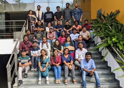
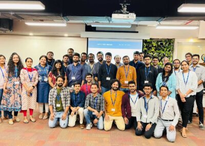
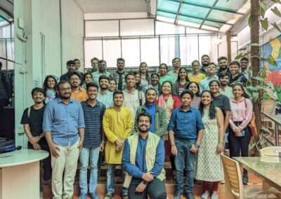
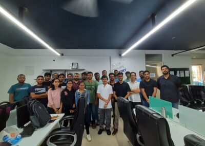
Listen to experts from the field of remote sensing, GIS, open-source development and more in our monthly in-person talks at various venues around Bengaluru. All participants are required to register on the official Meetup page and RSVPs are neccesary to attend.
Event #12 - October 29, 2023
Exploring the fantastic STAC API and the powerfull Microsoft Planetary Computer was the agenda for the 12th Meetup hosted at Satyukt Analytics. Aman and Santhosh gave us comprehensive examples and a deep dive into the specification and various use cases, the talk was aimed to empower professionals and enthusiasts alike in leveraging these powerful tools.
Check out the live stream on the official LTS YouTube page here
Event #11 - September 9, 2023
Our 11th event was on the field! Chamrajpet, in the heart of the city is where we met up to survey and map various Points of Interests (PoI) using “Every Door”. Participants mapped over 360 contributions to Open Street Map (OSM). This event was jointly organised by Open Street Maps Bangalore. Read more about this on Aman’s OSM Diary
Event #10 - July 29, 2023
The 10th Meetup was a hit! Hosted at SkyServe, we had speakers with diverse and technical backgrounds ranging from edge computing to remote sensing for Fisheries.
We had a deep dive with Parag Ramteke, who took us into the world of remote sensing and fisheries. Parag spoke about the various use cases, technologies, and initiatives that need to be upheld for the sustainable practice of fishing in the country.
Edge computing is the next boom for earth observation. Arya Pratap Singh showed us exactly why, giving us a glimpse of the numerous benefits of edge-computing earth observation satellites. From researchers to corporates, edge computing is the future of space-based computation.
SkyServe‘s very own, D RUPESH KUMAR demonstrated their Developer Portal which enables AI models to be “Edge Ready”. An intuitive and interactive portal, where everything can be customized and deployed in a matter of minutes.
Check out the live stream on the official LTS YouTube page here
Event #9 - June 24, 2023
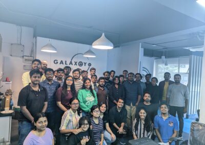
Hosted @GalaxEye Space, this event discussed the Advances in Synthetic Aperture Radar. Kicking off the talk, Saumyata Srivastava, Data Scientist @ Louis Dreyfus Company demonstrated building Google Earth Engine apps and its importance in disseminating research.
Akshay Patil, PhD, Remote Sensing Scientist at AiDash explained the intricacies of SAR and all its associated terminologies. Along with excellent don’t and don’ts for remote sensing sensor selection. Tanya Suri, Computer Vision Researcher at GalaxEye Space, explained and demonstrated generation of DEM from InSAR using Vertex. She mentioned about temporal and spatial baseline using SBAS tool and what condition it should satisfy to generate the DEM.
Check out the live stream on the official LTS YouTube page here
Event #8 - May 27, 2023
Hosted at ENGEO Analytics, the 8th edition of LTS was all about discussing the latest in Geospatial Technology – with machine learning, edge computing and generative AI for satellite imagery!
Krishna, Data Scientist at SatSure, showcased unsupervised LULC classification using Python. Implementing GDAL commands from QGIS to help assist in your workflow. Adithya, Co-founder & Chief Product Officer at SkyServe.ai presented the power of edge computing and how it can benefit both the data providers and consumers by processing data on the satellite and down-linking only the necessary bits. Rakshit Bhatt, VP of Product @GalaxEye Space showed us exciting generative AI applications on SAR + optical Imagery along with the juicy math that enables it. He showcased how GANs (and its derivatives) can help monitor the planet in all weather conditions.
Check out the live stream on the official LTS Youtube page here
Event #7 - Mar 19, 2023
We had our 7th meetup at Satyukt Analytics with new learnings and insights shared by the stalwarts of our industry Ujaval Gandhi and Raj Bhagat Palanichamy! From automating workflows in #QGIS to its application in decision-making, we heard it all.
Ujaval Gandhi provided valuable insights on Geospatial Analysis using #QGIS, demonstrating various features and functionalities of the software from model builder to using running it on the command line. His slides can be found here
Raj Bhagat discussed the role of remote sensing and GIS in decision-making, anecdotally citing several case studies and projects to highlight the stark difference between GIS models and ground reality.
Check out the live stream on the official LTS Youtube page here
Event #6 - Feb 18, 2023
There is no doubt that working with Drones and LiDAR is every mappers dream project. We talk to Sucharitha from Skylark Drones and Pavan Vyas from Gesix Solutions Pvt. Ltd. about their experiences with drones, points cloud and LiDAR data. This event was hosted at one of Bengaluru’s most prolific drone analytics platform, Skylark Drones.
Check out the live stream on the official LTS YouTube page here
Event #5 - Jan 21, 2023
Hosted at the Indian Institute for Human Settlements, the theme for this event was “Urban GIS, Remote Sensing and Sustainability”. Speakers Naveen Kumar, Rahisha Thottolil and Shidharth Routh presented various use cases on working with Urban GIS data, tools and automation.
Check out the live stream on the official IIHS YouTube page here
Event #4 - Dec 3,2022
A hands-on session anchored by Saikat Maiti hosted at the incredible Microsoft Reactor, #LTSFam were given a deep-dive into community mapping initiative using OpenStreetMap’s map editor – JOSM. The session showcased how to use the #PMGSY data layer as a WMTS service (courtesy of Arun Ganesh and team) as a reference to digitise data using JOSM for the Humanitarian OpenStreetMap Team platform (HOTOSM). In addition to this, using Strava Heatmaps to visually identify actual roads in use was an exciting way to include heterogenous data into a mapping practise.
Check out the workshop on our YouTube channel here
Event #3 - Oct 30,2022
Hosted at the International Institute of Information Technology (IIIT-B) and supported by the IEEE-GRSS Bangalore Section, the 3rd event was dedicated to making maps. Saikat introduced the Open Street Map (OSM) suite of tools to create and contribute to the open mapping initiative. Ramya showcased how to manipulate OSM with examples of the Humanitarian OSM (HotOSM) project. We concluded with Bhuvanamitra giving us a hands-on tutorial with Blender and Aerialod for making beautiful maps.
Event #2 - Sept 24,2022
The 2nd event started out with an introduction to PGRouting by Thiyaku, dive into reproducing data science workflows with STAC by Aman and an overview of IEEE-GRSS by Gurudatta. This event was held at Unnati Studio Theatre kindly sponsored by Gurudatta, Business Manager at MapMyIndia and secretary of IEEE-GRSS, Bangalore section.
Event #1 - Aug 21,2022
Held at Satyukt Analytics, the first meetup had topics covering spatial data infrastructure by Amruth and Google Earth Engine by Santhosh. The inaugural session was attended by folks from Satyukt Analytics, IIHS, IISc, SatSure, KSRSAC, Blue Sky Analytics and more.
Interested?
Register on our official Meetup page below, to get notifications on future events. Please note, RSVP is required to attend all events due to limited seating.
