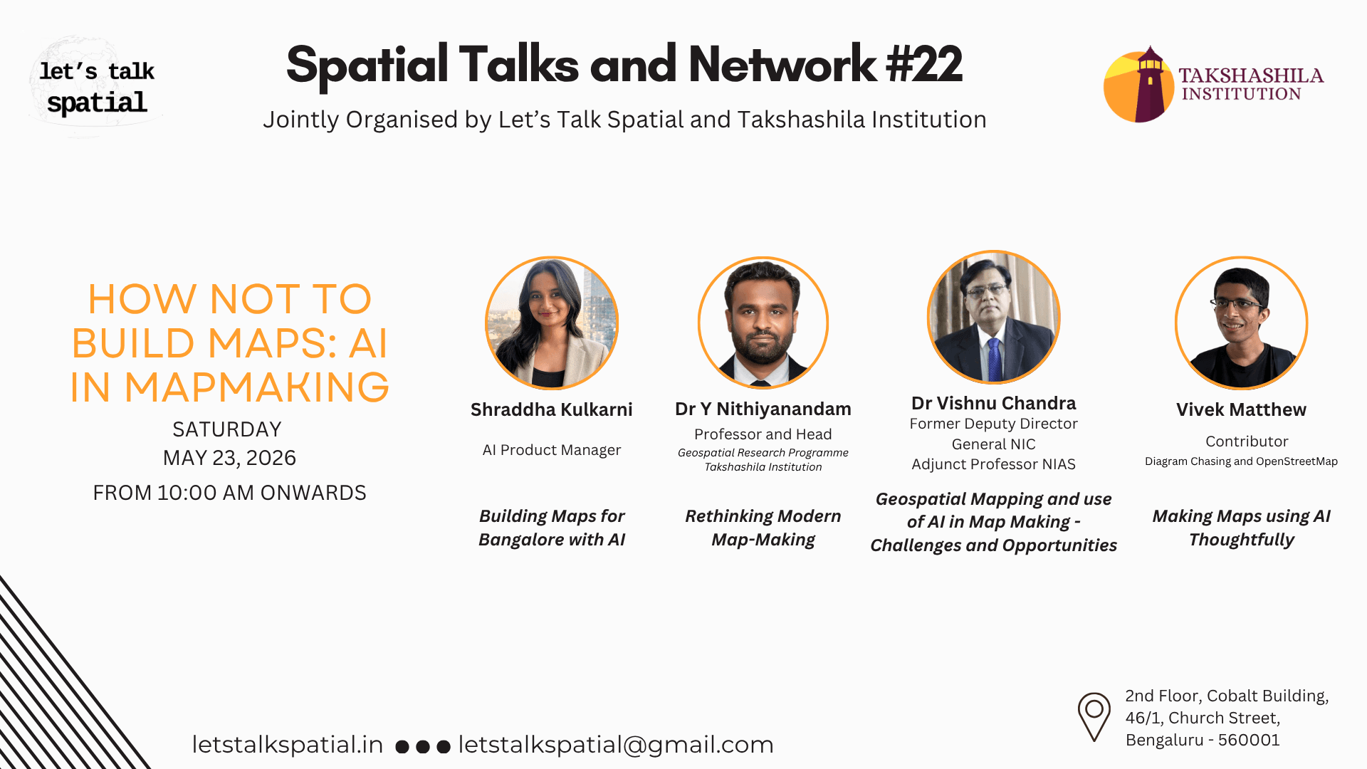
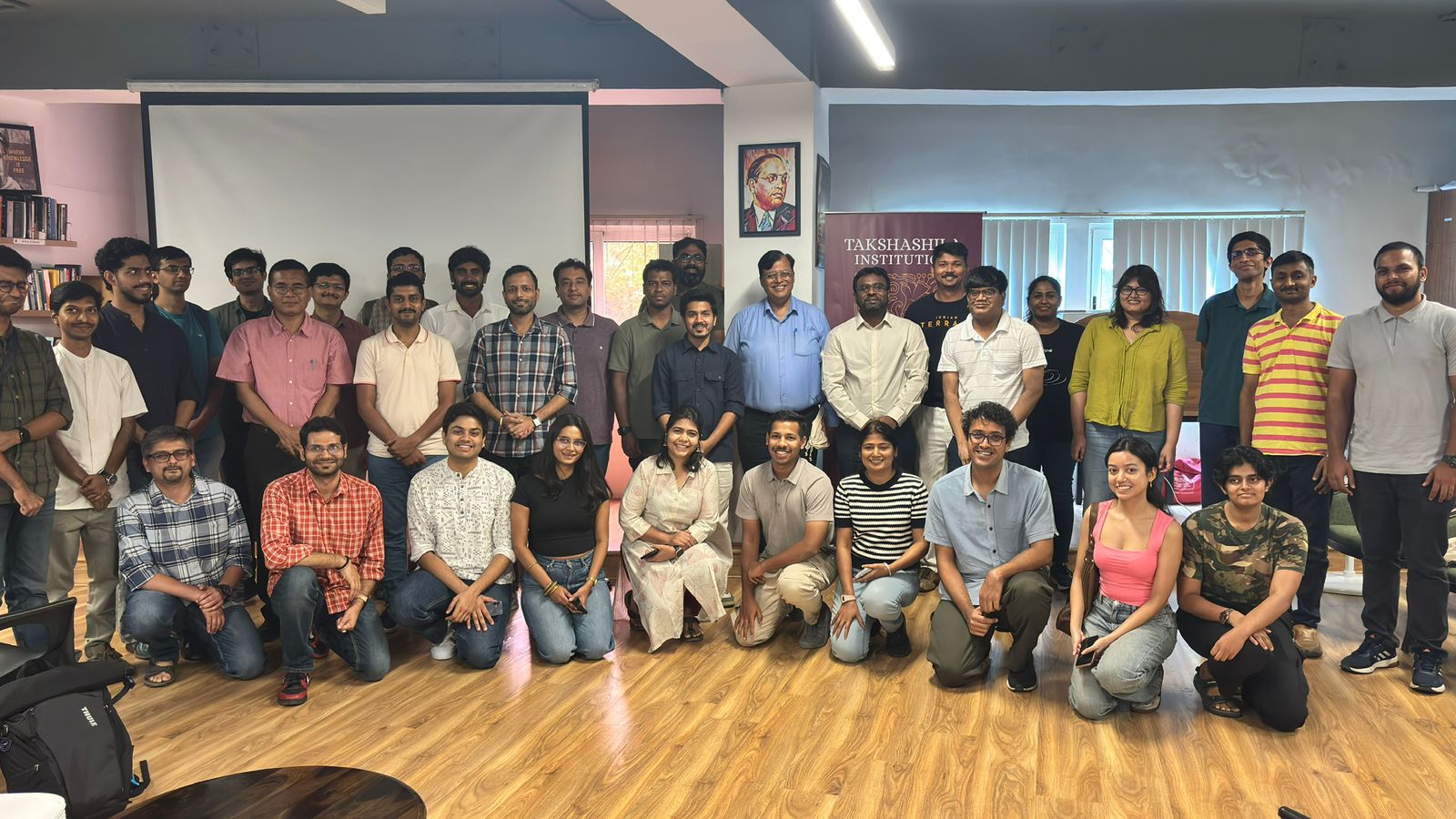
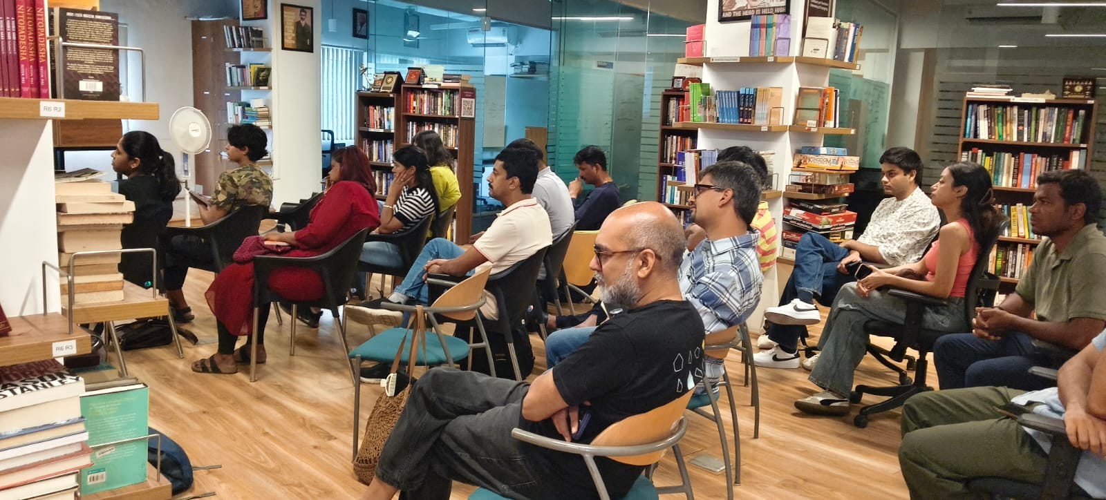
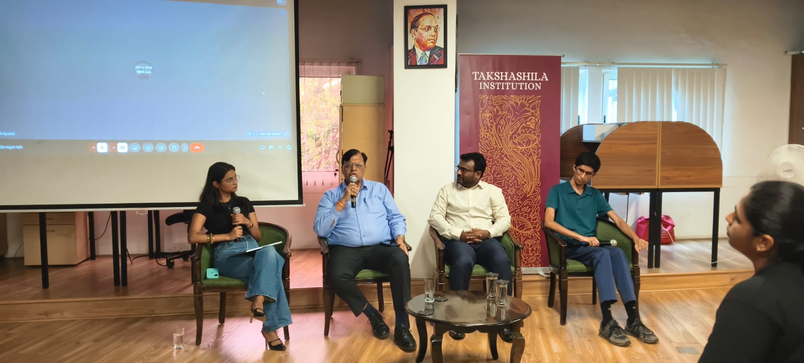
Artificial intelligence is lowering the barrier to producing map-like visuals, but a map is never “just” a picture. It encodes geography, choice of projection, scale, positional accuracy, context, and the assumptions behind downstream decisions. When those foundations are skipped or opaque, AI-assisted outputs can look authoritative while being easy to misread or misuse. Across the talks and discussion, several themes kept returning: what GeoAI enables, where it fails quietly, how teams should adapt data generation and quality control, and why cartographic literacy matters as much as tooling. The conversation also touched on how India might use AI thoughtfully in large-scale mapping programmes, and what geospatial careers may look like as workflows shift toward AI-first pipelines.
Themes from the session
- Opportunities and risks of GeoAI — faster iteration and new workflows alongside new failure modes and accountability questions.
- AI-driven mapping and spatial misinformation — how plausible-looking maps can spread incorrect geography or misleading narratives.
- Changing workflows — how geospatial data is produced, reviewed, and validated when machines sit in the loop.
- Cartographic literacy — why practitioners and consumers both need to read maps critically, not only generate them.
- India’s strategic angle — leveraging AI at scale in national and civic mapping without trading rigour for speed alone.
- The profession ahead — skills, roles, and standards for geospatial work in an AI-first era.
Watch the full recording on the official LTS YouTube channel here.