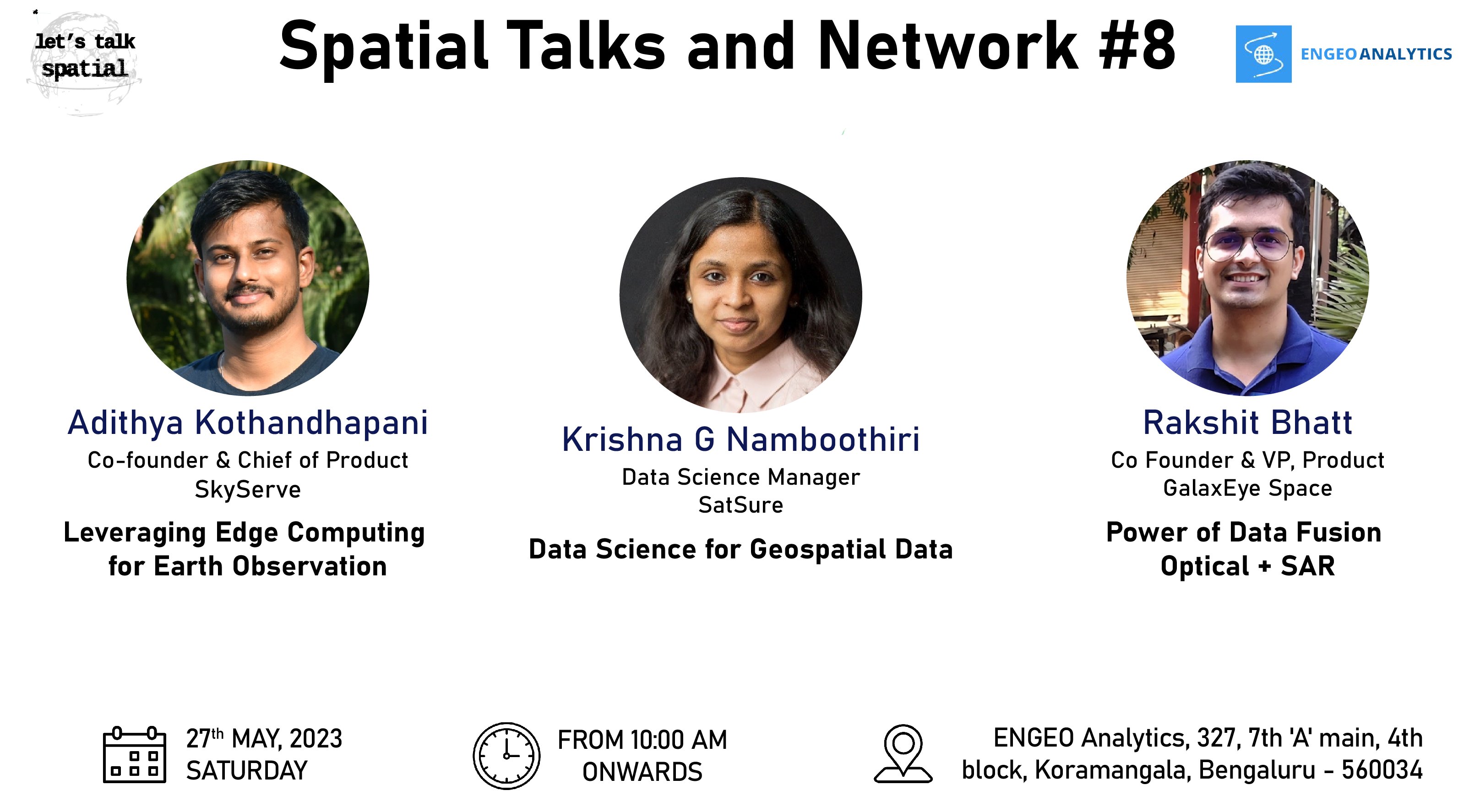
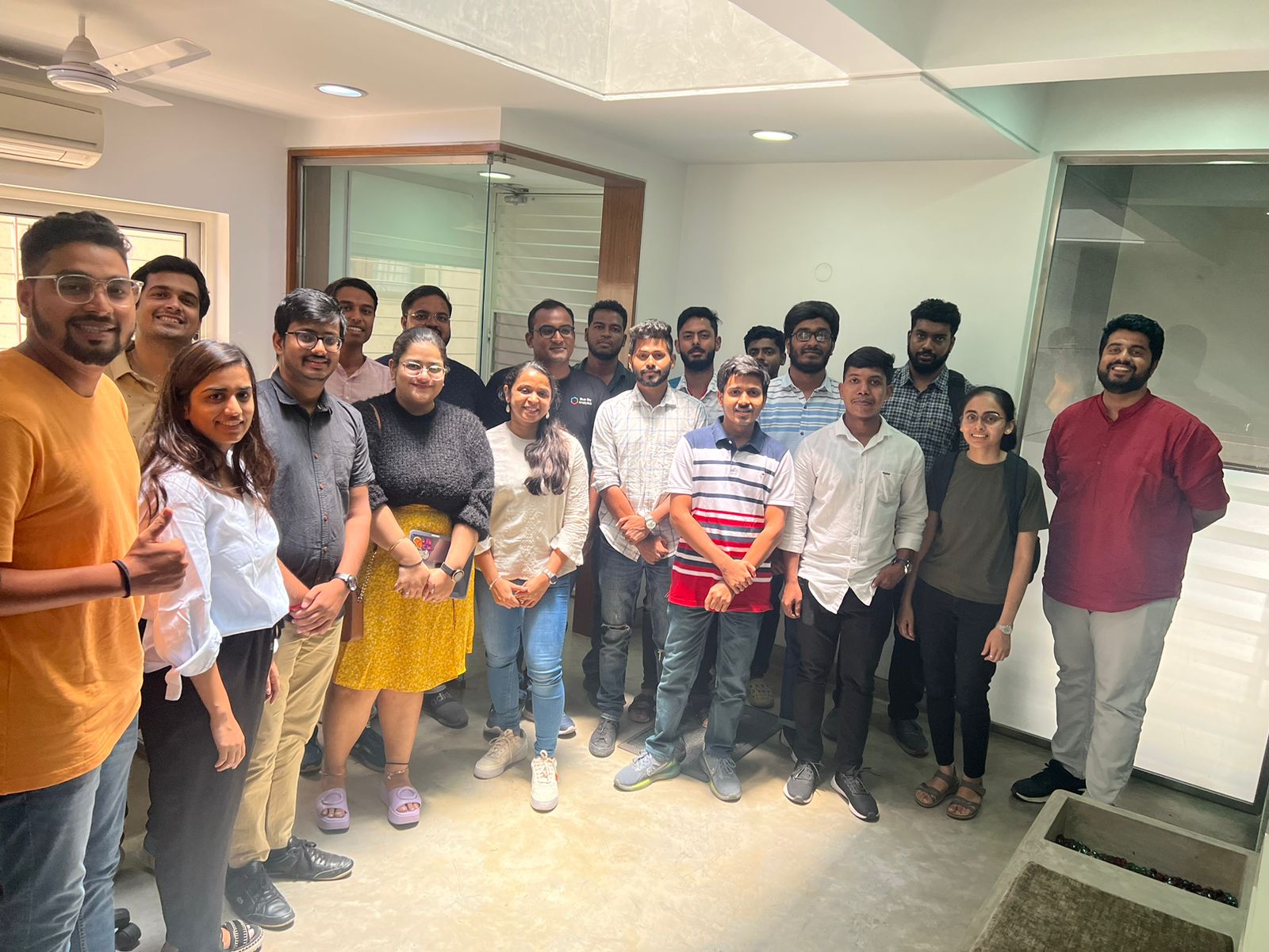
Hosted at ENGEO Analytics, the 8th edition of LTS was all about discussing the latest in Geospatial Technology – with machine learning, edge computing and generative AI for satellite imagery!
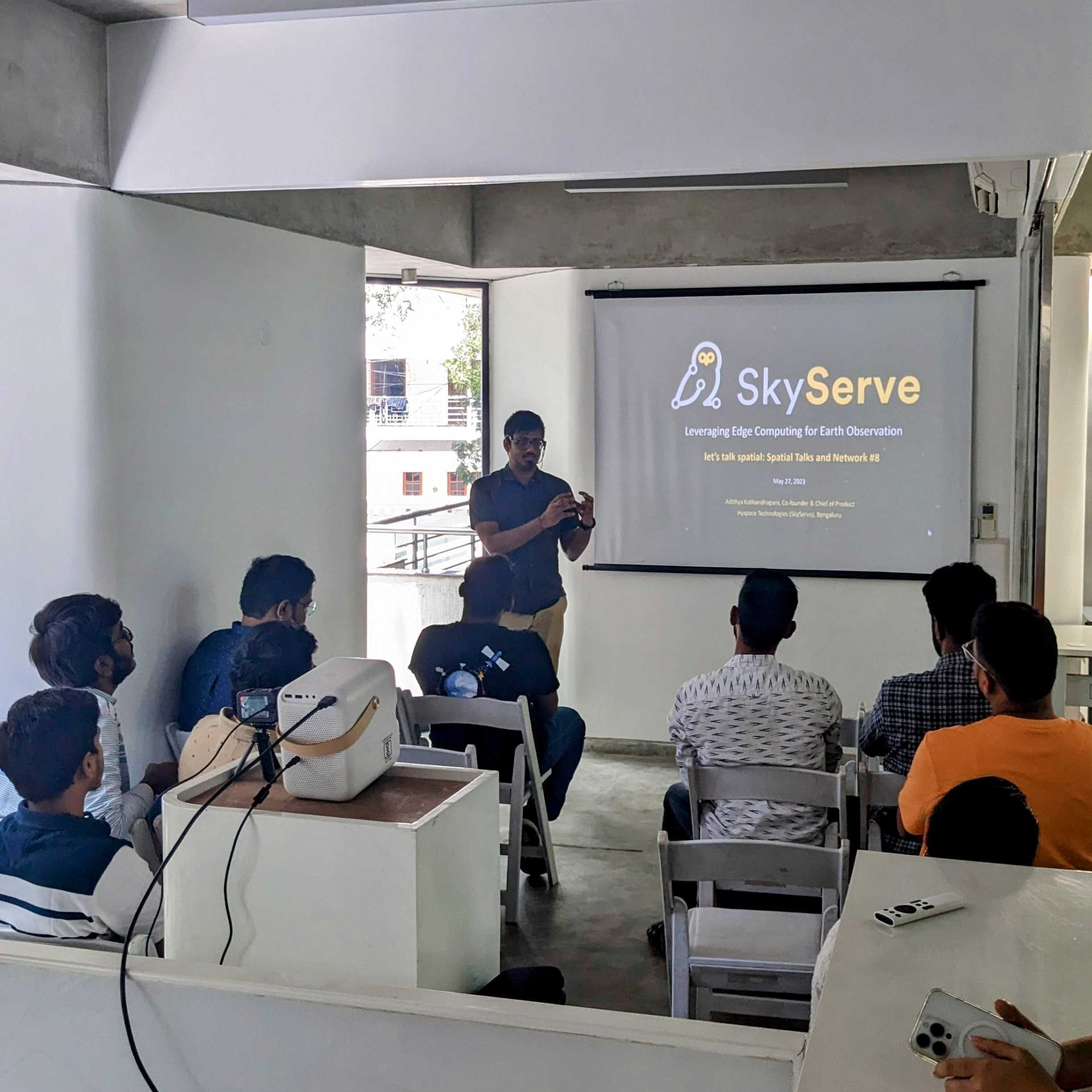
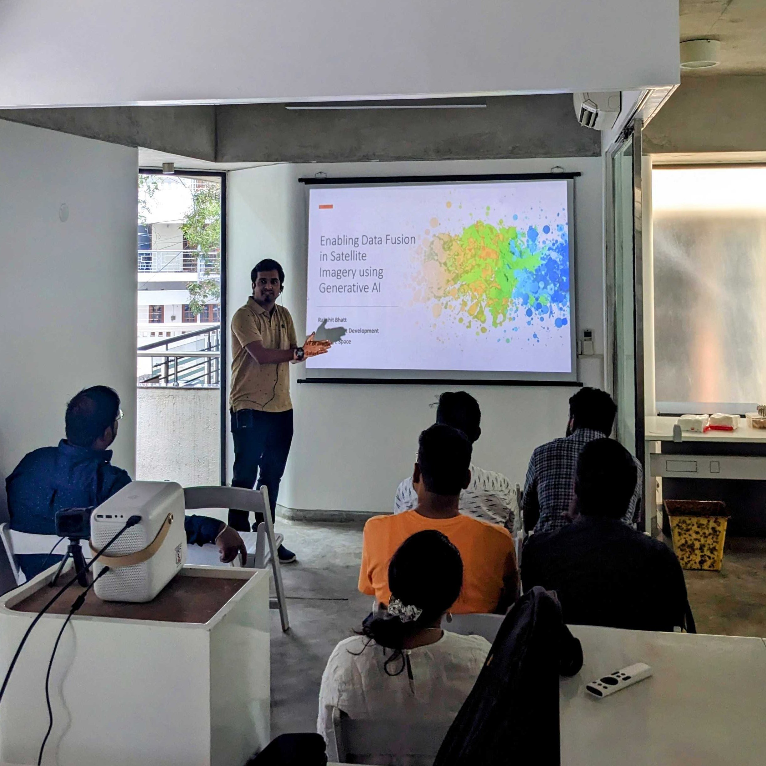
Krishna, Data Scientist at SatSure, showcased unsupervised LULC classification using Python. Implementing GDAL commands from QGIS to help assist in your workflow. Adithya, Co-founder & Chief Product Officer at SkyServe.ai presented the power of edge computing and how it can benefit both the data providers and consumers by processing data on the satellite and down-linking only the necessary bits. Rakshit Bhatt, VP of Product @GalaxEye Space showed us exciting generative AI applications on SAR + optical Imagery along with the juicy math that enables it. He showcased how GANs (and its derivatives) can help monitor the planet in all weather conditions.
Check out the live stream on the official LTS Youtube page here.